1 Article

Racha Hiking

Filter Showing 1 of 1
Read more Show less

High Mountain Lakes and Passes

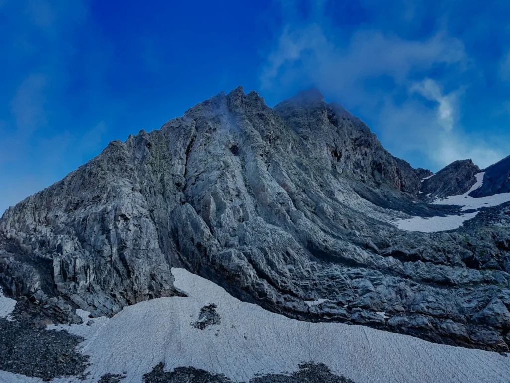
Racha is one of Georgia's quietest mountain regions, and its hiking reflects that. The high routes lead to alpine lakes and mountain passes set among peaks that see a fraction of the foot traffic of Svaneti or Kazbegi. Trails climb through forest into open alpine terrain, with sustained elevation gain and long days rewarded by wide, empty panoramas.

These are proper mountain walks. Several routes involve steep ascents, exposed sections, and camping or basic shelter, so they suit hikers who are comfortable with a full day of effort and self-sufficient in the backcountry. What you trade in convenience you gain in solitude.

Trails Off the Tourist Trail

Racha's appeal is precisely that it stays off most itineraries. The villages are small and traditional, the valleys forested and green, and the pace slower than in Georgia's headline regions. For walkers who want scenery without crowds, this is one of the best places in the country to find an empty ridgeline.

That remoteness comes with practical trade-offs. Services are limited, trailhead access can involve rough roads, and waymarking is patchier than on busier routes, so carrying an offline map and planning transport ahead of time both matter more here than elsewhere.

Best Time to Hike in Racha

The hiking window in Racha runs from roughly June through September, when the high passes are clear of snow and the weather is most settled. Early summer can still hold snow on the highest ground, while autumn brings cooler air and colour to the forests lower down. As with the rest of the high Caucasus, mountain weather here shifts quickly and should be checked close to your travel dates.

Because the region is so quiet, it is worth confirming conditions and access locally before setting out on the higher routes. The trail guides below cover trailhead access and what to expect once you are on the mountain.