| Distance | 19 km point-to-point (Shovi to Glola) |
| Duration | 2 days (1 day possible from Glola only, for fast hikers) |
| Difficulty | Hard |
| Max elevation | 3,075 m (Geske Pass area) |
| Lake elevation | 2,800 m |
| Total ascent | 1,769 m |
| Total descent | 1,899 m |
| Start point | Shovi resort trailhead (or Glola village) |
| End point | Glola village |
| Best season | Late June – late September |
| Trailhead GPS | 42.6250°N, 43.5060°E (Shovi trailhead marker) |
Udziro Lake sits at 2,800 m on the western slope of Mt. Katitsvera in the Racha region — a small alpine lake that takes two days to reach properly, starting from the Shovi resort near Glola village. The name translates roughly as “without bottom,” a reference to the lake’s depth that locals have long speculated about. The route crosses the Geske Pass at around 3,075 m and descends to the lake on the far side, then exits the next day via the Udziro Pass down to Glola.
Racha is one of the least-visited hiking regions in Georgia. It sits 350 km from Tbilisi and 130 km from Kutaisi, and getting there takes real effort. That distance is also why this route stays quiet even when trails in Svaneti or Kazbegi are crowded. August is the busiest month at the lake — even then, you are unlikely to encounter more than a handful of other tents.
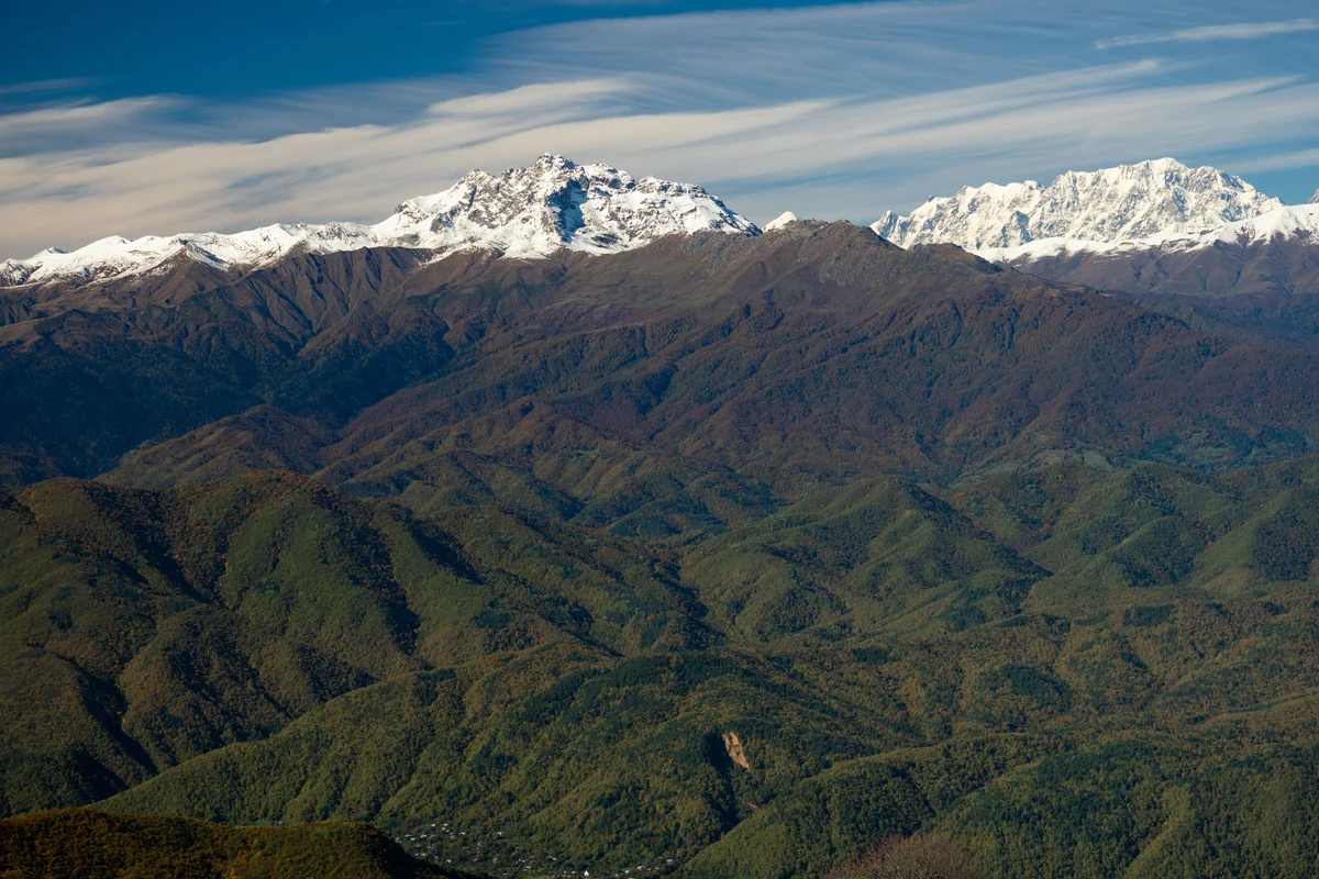
The mountains around Chkauri valley, which you walk through on Day 1, have an unusual layered and twisted rock structure that looks different from anything else in the Caucasus. In clear weather from the Udziro Pass, you can see Shkhara, Tetnuldi, Ushba, and a wide sweep of the Greater Caucasus range to the north.
Udziro Lake Racha Georgia — Route Overview
The standard 2-day loop runs: Shovi trailhead → Chkauri valley → Geske Pass (3,075 m) → Udziro Lake (camp) → Udziro Pass → Glola village.
The trailhead is marked by a hiking sign 500 m before the entrance to the Shovi resort, at roughly 1,470 m elevation. The trail is marked with red paint on rocks, which is reliable enough, though there are sections where it disappears — a downloaded GPX track is useful.
Starting from Shovi is slightly more popular, partly because the descent from the Udziro Pass toward Glola faces north with wide Caucasus panorama ahead of you. Starting from Glola distributes the difficulty more evenly across both days. Either direction works; the choice depends on how you plan transport.
Udziro Lake 2-Day Trek: Daily Stages
Day 1: Shovi trailhead to Udziro Lake — 10.8 km, 1,816 m ascent, 464 m descent
Leave the main road at the trailhead marker, pass a small spring, and turn into the forest. The first climb gains roughly 250 m to a small ridge, then the trail stays in forest until it breaks out at around 2,130 m. From there a short steep section leads into Chkauri valley.
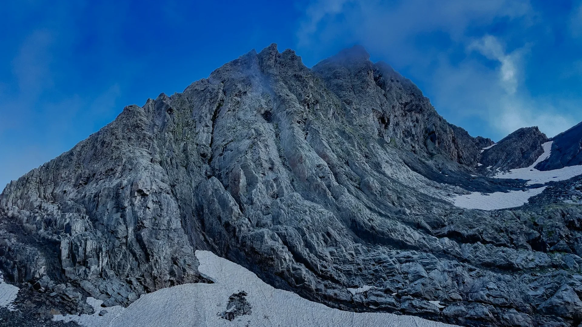
The valley is wide and the river runs below to the left. The trail stays high on the right side, gradually closing the gap with the riverbank. Follow the river until it bends west, at around 2,500 m. A flat area between two streams here is a good lunch stop, and Geske Pass becomes visible for the first time — to the right of Katitsvera mountain. It looks steep, and it is.
The approach to the pass is easier if you contour up the southern side of the valley rather than heading straight at it. The final section is close to 40 degrees and loose in places — a small couloir on the right side of the slope is the most-used line. From Geske Pass (3,074 m), Udziro Lake is visible below. The descent is steep at first, then straightforward. In mid-July there may still be significant snow on this northern slope.
The lake has flat ground on one bank for tents and several springs supplying clean water. There is no shade and wind can be strong at night — peg down properly.
| Snow on the pass: The western slope of Geske Pass can hold snow into late June or early July. If you are travelling in late June, check conditions before going. The northern slope below the Udziro Pass (Day 2 side) also holds snow longer than the rest of the route. |
Day 2: Udziro Lake to Glola village — 8.9 km, 272 m ascent, 1,753 m descent
From the lake, backtrack about 100 m then climb the small ridge to the north to reach the Udziro Pass. A hiking sign at the pass points to Glola — signposted as 3.5 hours, which is realistic for a moderate pace.
Before descending, a 10-minute climb to a small high point northwest of the pass gives a full 360-degree view: Greater Caucasus peaks including Chanchakhi, Burjula, Kharaugomi, and Edena to the north; Shkhara, Tetnuldi, and Ushba visible in clear conditions; layered rock formations to the south; Dolomisistsveri and Katitsvera to the east.
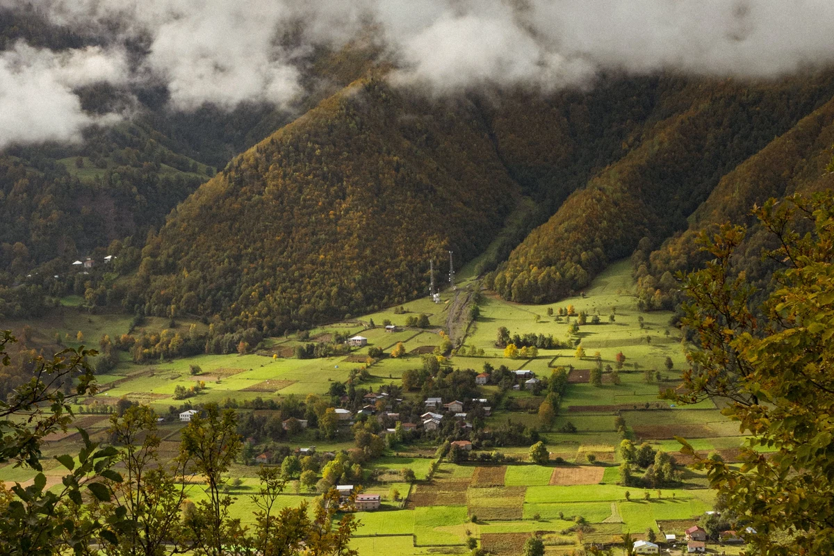
The descent follows alpine meadows and rhododendron fields, crosses a small ridge, then drops into an adjacent valley. The trail crosses the Chibisru stream at a large stone cairn — this is the entry point into the birch and then pine forest. From here, another 700 m of descent on a clear trail brings you to Glola village.
Udziro Lake Difficulty
This is a hard hike. The distance (19 km total) is not extreme for two days, but the elevation gain — nearly 1,800 m on Day 1 alone — is substantial, and some of the terrain is steep and loose. Navigation disappears in sections and fog can close in quickly at the pass.
A single-day version starting and returning via Glola is possible for experienced, fast hikers starting at 5–6 am. You skip the Chkauri valley and the most interesting part of the terrain doing it this way, so the 2-day loop from Shovi is worth the extra planning.
How to Get to Udziro Lake
There is no public transport directly to Shovi or Glola. Oni is the practical hub, about 25–30 km from the trailhead, and is reachable by public bus.
From Tbilisi: Daily marshrutka from Didube bus station to Oni, departing 8:00 am. Ticket costs 20–25 GEL (~$7–9 USD), journey about 6.5 hours. Some drivers continue to Shovi — ask when boarding.
From Kutaisi: Two buses daily from the station near Bagrati cathedral (not the central station). One departs 9:00 am via the slower Rioni valley road (5 hours); a faster one departs 2:00 pm via Tkibuli.
From Oni to Shovi/Glola: Taxi from Oni costs approximately 50 GEL (~$18 USD). Hitchhiking is also common in summer — there is reasonable traffic on the road. On Wednesdays there may be a local marshrutka from Oni to Glola in the morning; ask locally.
Getting out of Glola after Day 2 is less predictable. Ask your accommodation in Oni or Shovi to arrange a pickup, or plan to hitchhike back. The road sees enough summer traffic that waiting is rarely long.
Udziro Lake Camping
The main campsite is at the lake itself — flat ground on the bank opposite the outflow, with springs for water. This is the only reliable camping spot between Shovi and Glola that most hikers use. There are no huts or shelters on this route.
A secondary camp option exists just below the Udziro Pass on the Glola side — a small flat area suitable for one or two tents, useful if you want to split the descent across an extra day.
There are no facilities anywhere on the route. Carry all food from Oni or Shovi. Water is available from streams and springs throughout, though treat or filter to be safe.
Udziro Lake Best Time to Visit
The reliable window is mid-July to mid-September. Snow on the Geske and Udziro passes makes the route difficult or impassable before late June, and the trail is rarely attempted after early October when snow starts returning. Late June is possible but uncertain — check conditions in advance.
July brings wildflowers across the alpine meadows, including the rhododendron fields below the Udziro Pass. By August the trail is at its busiest (which is still not very busy) and conditions are most stable. September is quieter, with cooler nights that require warmer sleeping gear.
Shovi resort is a functioning summer destination — established in 1926, it sits at 1,650 m and is known for its mineral springs. Staying there the night before you start is a practical option.
Sources
- https://www.caucasus-trekking.com/treks/udziro
- https://www.alltrails.com/trail/georgia/racha-lechkhumi-and-kvemo-svaneti/udziro-lake
- https://georgia.travel/udziro-lake
- https://georgiantour.com/udziro-lake/
- https://georgia.to/en/places-to-go/racha/udziro-lake/
authenticgeorgia.guide | Hiking Guides